
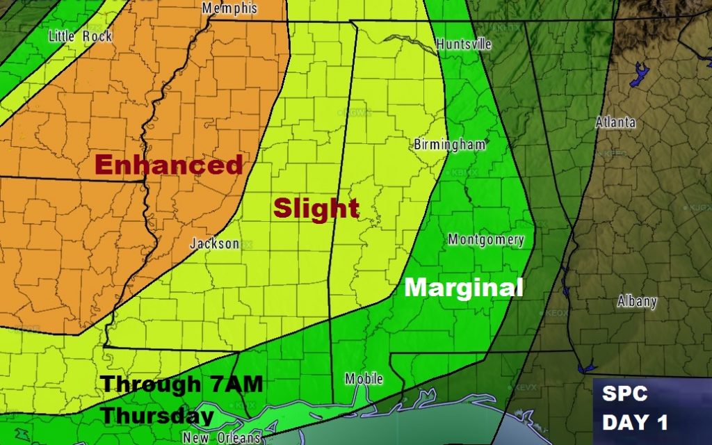
A line of strong thunderstorms will enter the state after Midnight and progress eastward. Some of the storms will be severe. Although the main threat will be damaging wind gusts, tornadoes can not be ruled out. The greatest severe weather threat is in the Slight Risk area, generally west of a Selma to Birmingham line. The Marginal Risk extends east into the eastern counties through 7AM Thursday morning. The risk levels are slightly less in the Marginal Risk area.
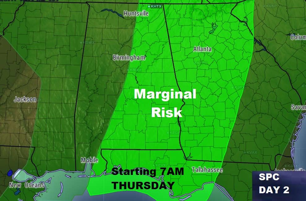
The Day 2 Severe Outlook from SPC begins at 7AM Thursday. A Marginal Severe Risk covers most of east and southeast Alabama. Most of the storms should exit the state by afternoon with clearing skies later.
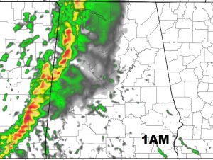
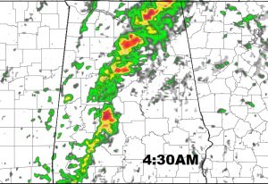
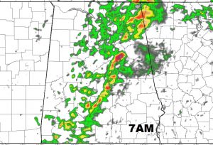
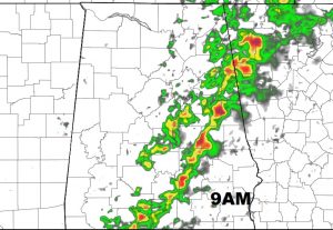
A few Future Radar snapshots, showing the line of storms entering the state in the wee hours of the morning and progressing into east Alabama by mid-morning.
NEXT SEVERE THREAT SUNDAY PM: See this morning’s video for details of the next severe weather threat Sunday evening/night. I’ll have more on that tomorrow.
My alarm is set for 1AM. I hope to be able to push out a morning weather video…weather permitting. Your weather app will alert you to any watches or warnings for your area.
See you in the morning.
Rich