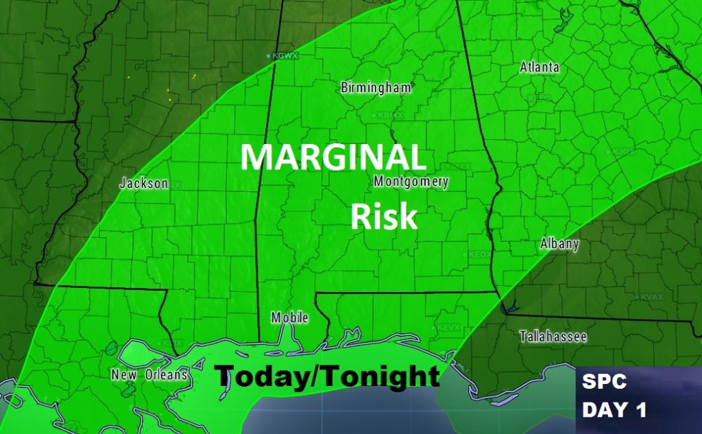
Good Morning! Marginal Severe Risk covers most if the this afternoon, this evening and tonight. Damaging wind gusts are the main threat. On this video, I’ll shows the updated timeline of the thunderstorm threat. The risk for storms beginning in the afternoon is greater. Also, will rain threat still be around Saturday morning? I have the latest details on the Mother’s Day weekend forecast, and a look ahead to some blazing heat next week. This is your Friday morning personal weather briefing from the Alabama Gulf Coast.
Storm Prediction Center has expanded the Severe Risk to cover much of the state this afternoon/this evening & tonight. The main risk is damaging wind gusts.
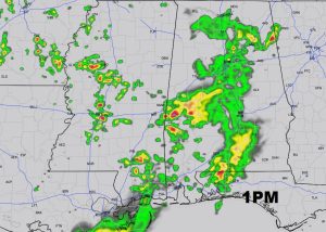
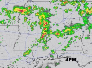
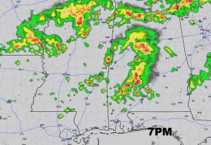
Lots of outdoor events on the line this evening/tonight and this weekend. Here’s a few Future Radar snapshots of the afternoon and evening, from the hi-res HRRR model.
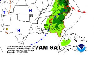
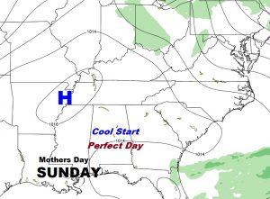
The front reaches SE Alabama by early Saturday morning. Could some be some leftover showers early, with improvement by Saturday afternoon, leading to a nearly perfect Mother’s Day forecast.

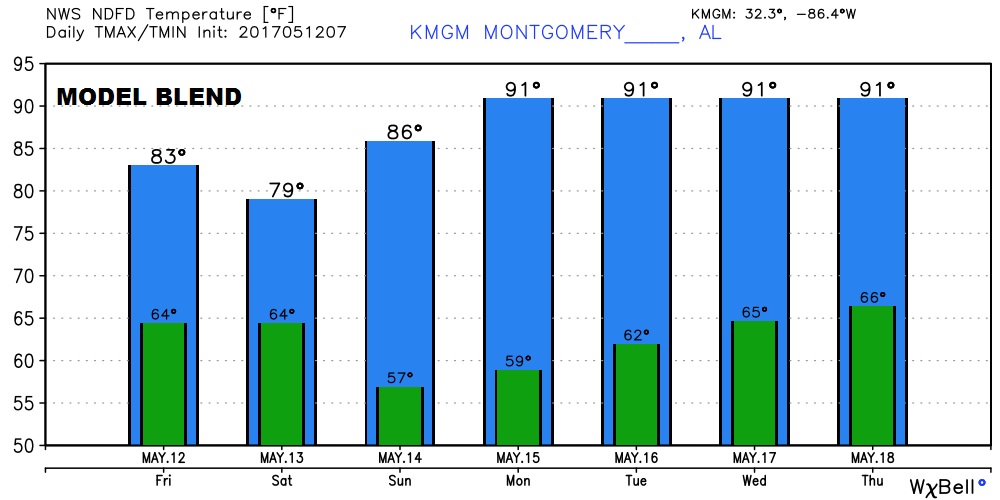
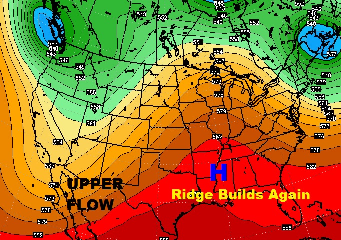
Another upper ridge of high pressure builds next week and that spells more hot days.
Here’s the model temp blend for the next 7 days