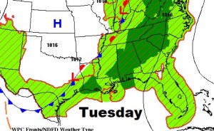
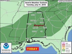
Good Morning! Looks like a potentially stormy day across Alabama today, with widespread showers & storms. The entire state is in a Marginal Severe Risk, for the threat of damaging wind gusts. I’ll show you a very active Future Radar, with storm timing. In fact, the better than normal rain chance will continue for at least a couple more days. But, on this video, we’ll look ahead, as the storms start to thin out, perhaps by the weekend. I’ll cover it all for you in couple of minutes or so, on your Tuesday morning personal weather briefing on the last day of July.
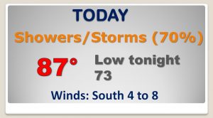
Showers and storms will be widespread today and tonight. Some storms could be strong, possibly severe with damaging wind gusts. The Storm Prediction Center has us in a Marginal Severe Risk for today and this evening.
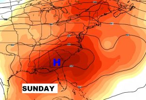
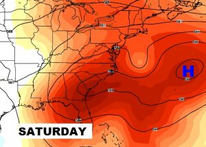
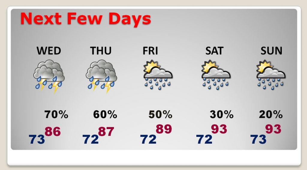
Higher than formal rain chances remain in place through Friday, But, storms will thin out this weekend as highs return to the 90’s.
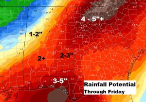
Here’s the blended model solution on potential rainfall through the end of the week. Remember, rainfall amounts are not uniform in the summer. Some towns could get much heavier amounts, while totals will under perform in other towns. This is just general guidance.
Over the weekend, the upper level high ridge over the Atlantic builds west back into Alabama. That spells less showers and hotter days.