Happy Last Day of Summer!! The heat continues, but the rain chances are a little better today. I have the updated weekend rain chances. Next week could there be a delay in that “nice” Fall front? Be patient. We may have a delay in the arrival time of the Relief we’re looking for. I’ll show you the latest. And, don’t look now, but the tropics are starting to heat up again. There’s much to talk about on your Friday morning personal weather briefing.
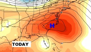
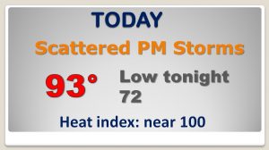
On this last day of summer…as the upper high shifts east, the atmosphere becomes a little more conducive to scattered random PM storms. Still HOT!
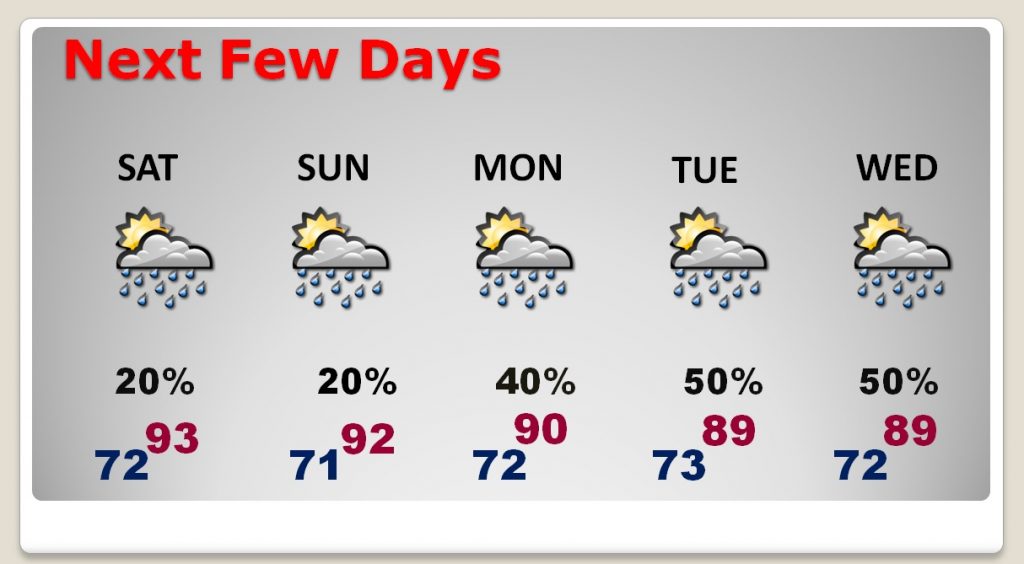
Showers/storms will be only widely scattered over the weekend. But, rain chances get a little better Monday through Wednesday, especially, as the first of two fronts approaches. Unfortunately, the “good front” we’ve been talking about, with nice relief behind it may encounter a multi-day delay before it reaches us. The new expected arrival date could be Tuesday, October 2nd. Stay tuned.
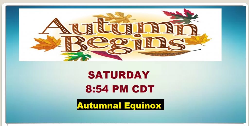
Official start of Fall is tomorrow evening. The Autumnal Equinox.
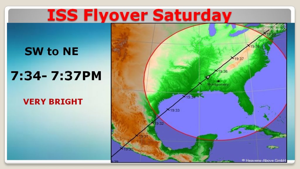
Excellent Space Station Flyover. Very bright. Passes just about overhead. Set the alarm on your phone so you don’t forget.
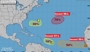
Uh oh.. Tropics are starting to get busier AGAIN. Invest 97, 98 and 99! Next week will be an interesting week.