Good Morning, on a much cooler Thursday morning. Looks like a chilly, but sunny day ahead. If you have weekend plans, the next storm system on the way could affect your plans. I’ll update the timing and the chilly air that follows. And, I’ll show you the next two systems on the horizon. The prospects for The Real Deal kind of winter cold are increasing, before this month is over. I’ll have the latest on the possible time table, on your Thursday morning personal weather briefing.
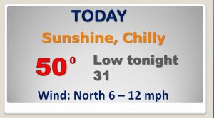
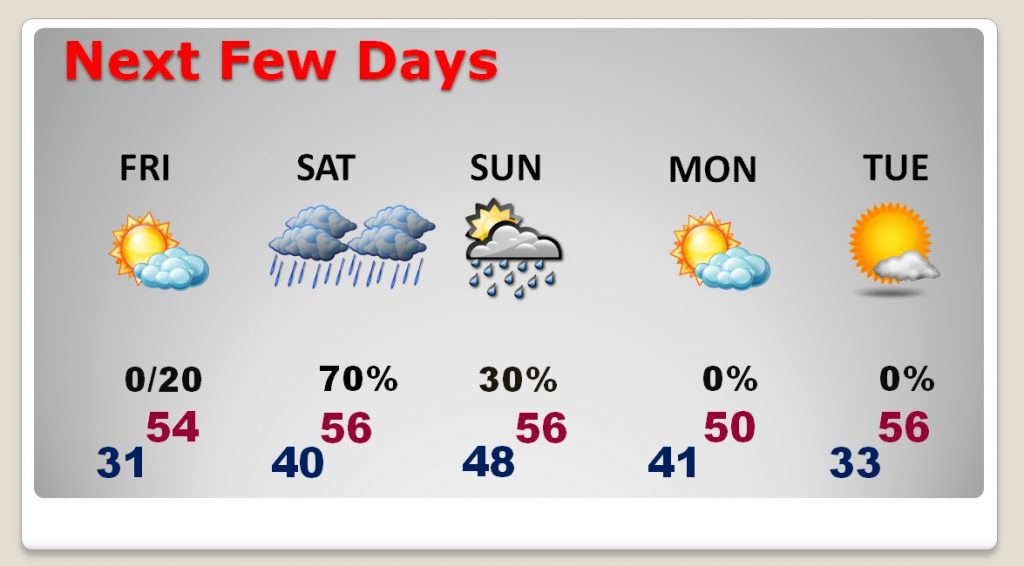
Chilly day ahead today. After this morning’s freeze, looks like another freeze tonight. High today may barely scrape 50, at best.
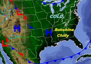
The next storm system is taking shape in the west and moving into the Plains tomorrow. We should be dry tomorrow and slightly warmer.
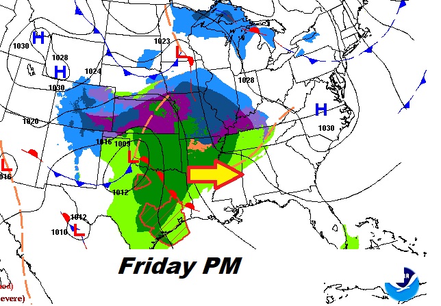
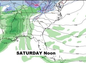
Rain becomes quite likey Saturday afternoon and Saturday night.
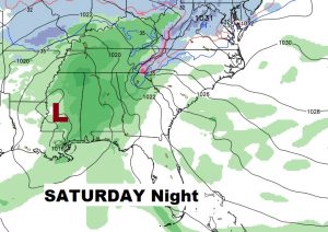
Cool and wet Saturday. Rain ending Sunday. Windy and colder Monday. Close to another freeze Tuesday AM.
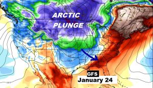
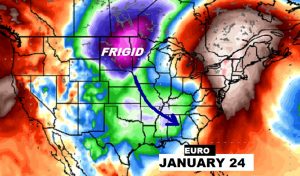
The major Global models…the Euro and the GFS continues to suggest The Arctic Flood Gates may finally open up and deliver the Real Deal kind of Arctic cold by the last week of this month. Stay Tuned…
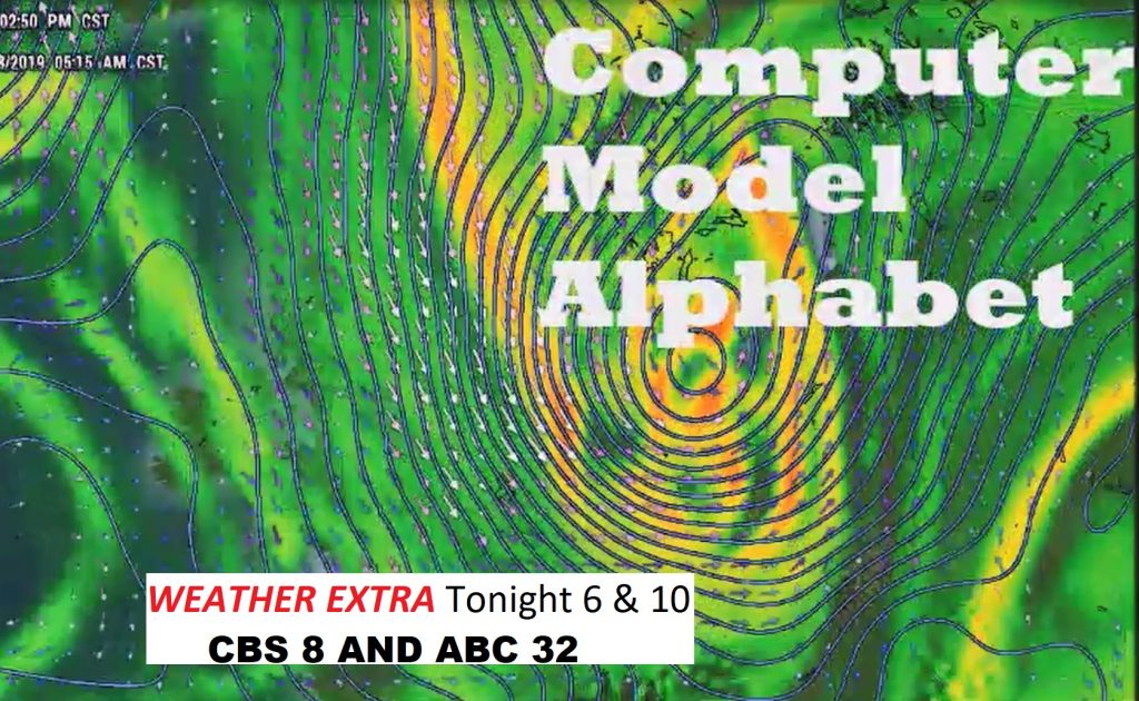
Why do we have all these models? What do they mean? Why are they different? Join me for my Thursday Weather Extra tonight on CBS 8 and ABC 32 at 6 and 10, as I look into the Computer Model Alphabet.