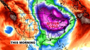
Good Morning! We’re in the 20’s again this morning but our ‘Arctic Sample’ is about to come to a rather abrupt end. A major warning trend is on the menu for the weekend and beyond. But, that’s just part of the story. The Temperature Rollercoaster, over the next 10 days, has some radical ups and downs. Plus – a wetter pattern is on the way soon. I’ll walk you through the details on your Thursday morning personal weather briefing.
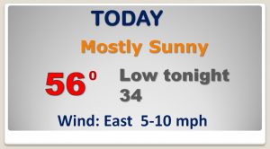
Things are about to turn around. The arctic cold will depart and a big warming trend will begin. Today, temperatures start to moderate.
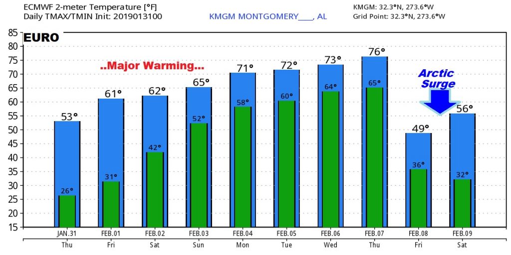
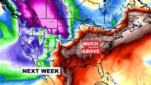
Amazing warming trend through the weekend and through mid week. The risk of showers will return as a series of disturbances brush by the area. Maybe some thunderstorms next week.
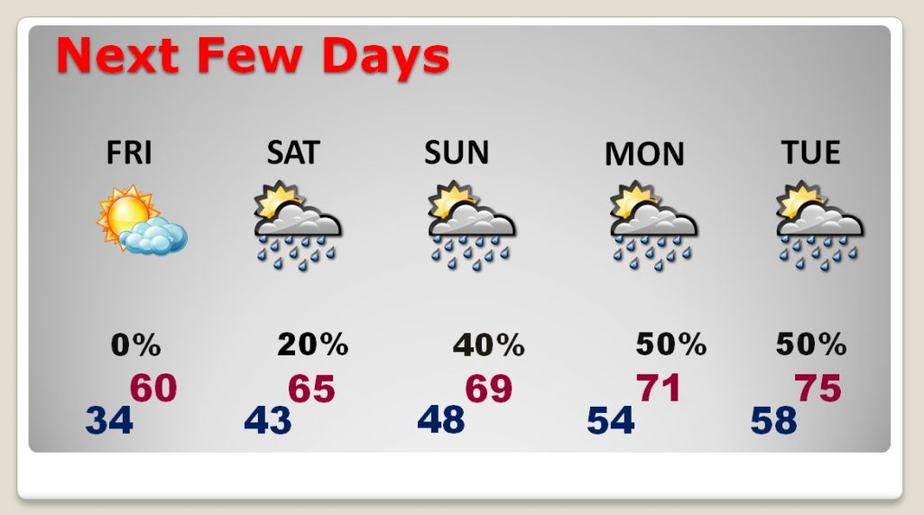
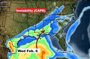
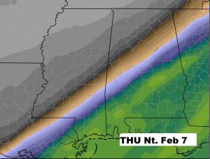
By mid week (next week), especially by Wednesday/Thursday, instability increases leading to thunderstorms. Could see some strong/severe storms? Too early to say. SPC is certainly hinting that could be the case, as an important cold front approaches Thursday.
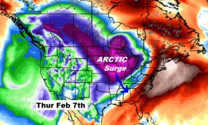
And then, how about another quick surge of arctic air at the end of next week.
The EURO model out ten days, profiles the wild temperature rollercoaster ride we’ll be on.