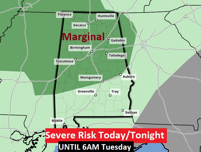
UPDATE from the Storm Prediction Center: The Marginal Severe Risk has expanded quite a bit and now covers all of the northern half of Alabama through 6AM Tuesday. Main threat, damaging wind gusts. #alwx
EARLY MORNING UPDATE:
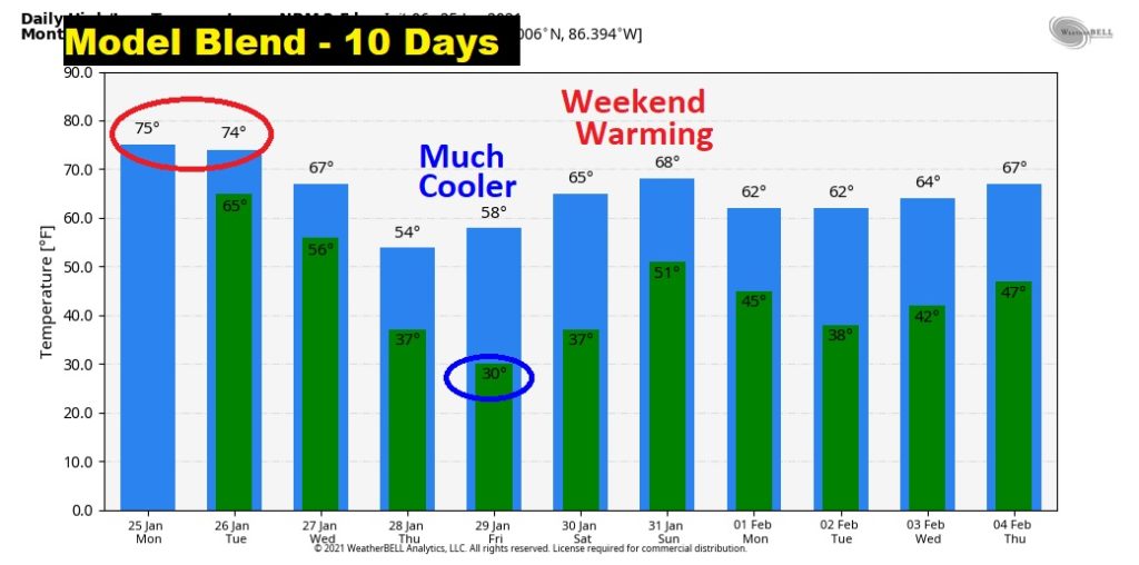
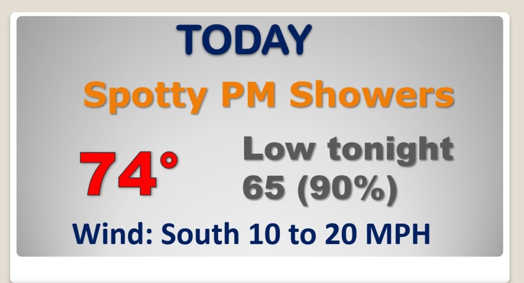
Good Morning! Our late January continues. We’ll be in the 70’s again today and Tuesday. But, stand by…we have a storm system approaching. Showers and storms become likely by tonight, and this is the first of 3 storm systems in the next 7 days. Get ready for a very active and wet pattern.
Warm day today. Mid 70’s Scattered showers this afternoon. Showers and thunderstorms likely tonight.
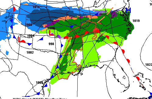
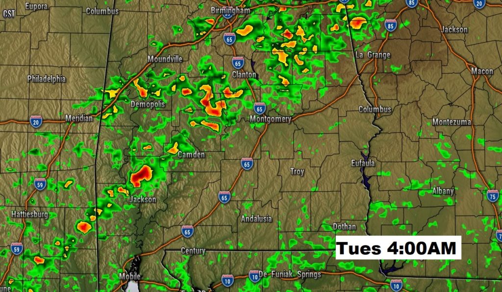
Future radar snapshot Tuesday morning at 4:00AM. Could be a couple of stronger storms as the front moves through.
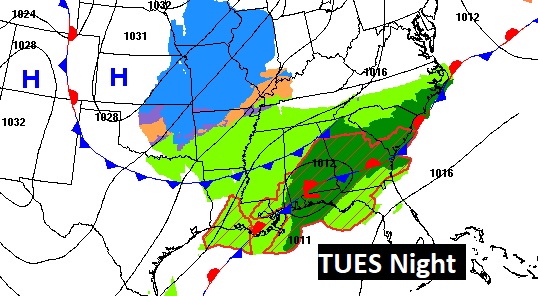
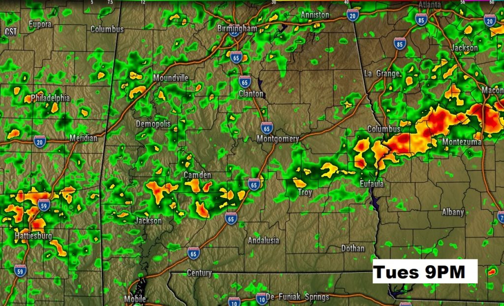
Tuesday night a new wave forms along the front, and a new surge of showers and storms will evolve northward into central Alabama.
After the Wednesday storm system departs, it will turn sharply cooler Thursday and Friday. A freeze Friday morning. Warmer Saturday. Another storm system Sunday.

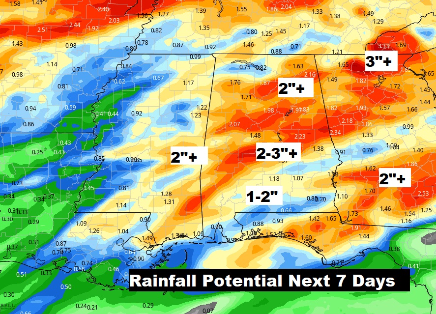
Some parts of central Alabama could easily see 2-3″+ in the next seven days.